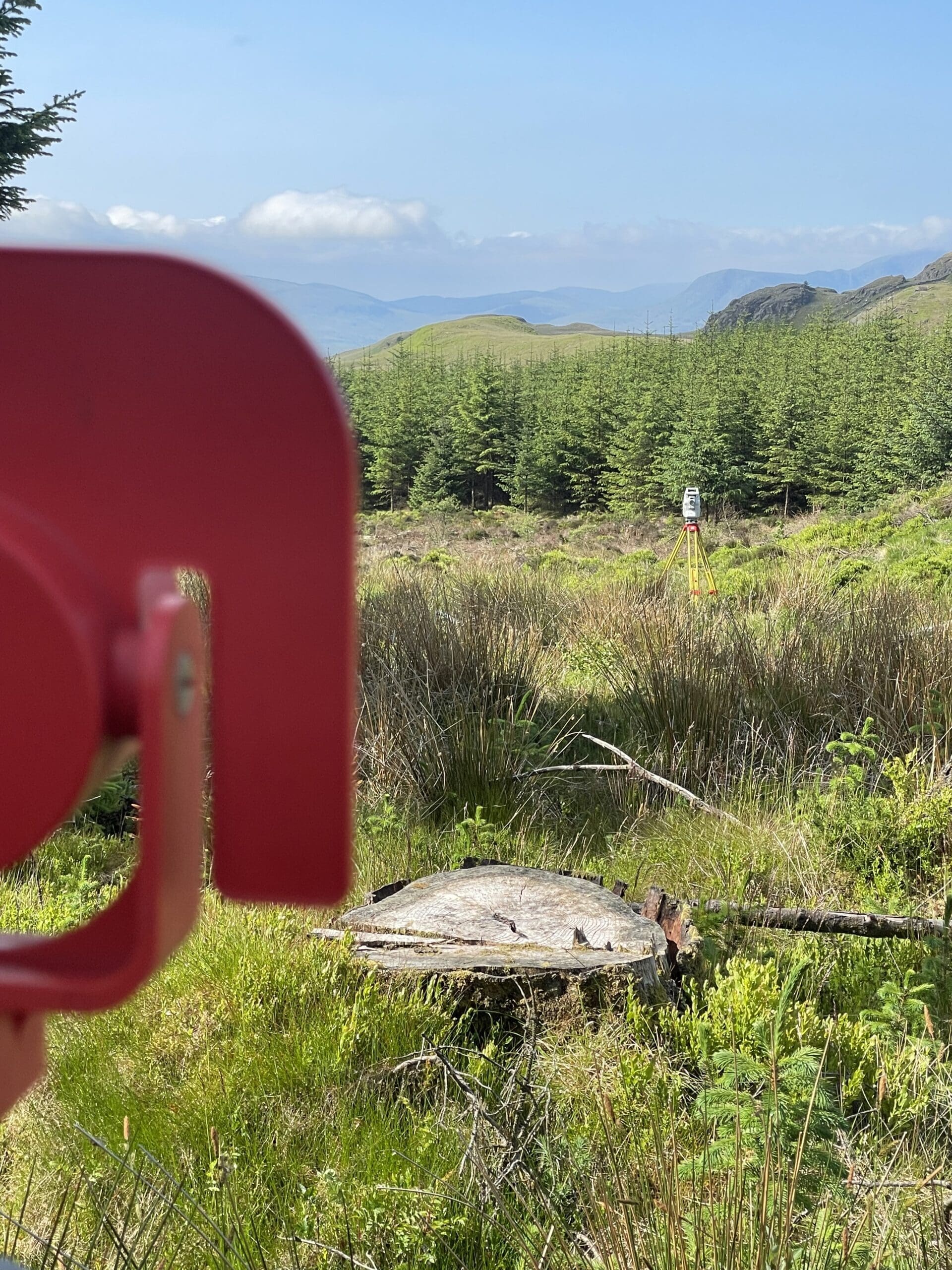
Owl surveys have vast experience in topographic surveys, and we aim to deliver the most accurate and tailored survey we can using a range of equipment to deliver. All our surveys are processed on OS national grid.
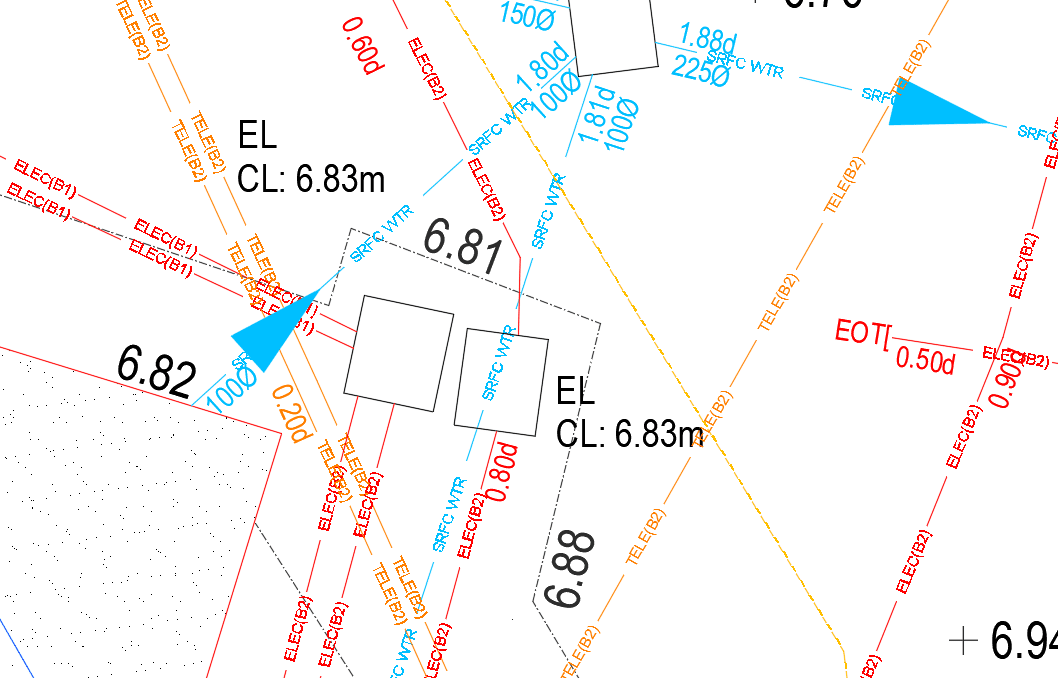
Both digitally surveyed and marked out on site, using EML an GPR to locate existing assets combined with service records to produce a complete representation of assets.
In addition, a topographic can be requested to be done alongside the utility survey or alternatively overlaid on to an OS tile or existing topographic supplied to us.
Utility surveys to PAS128 standard are undertaken also.
Whether it be Boreholes or trench routes, clearances are done to the same standard and practice as a utility survey to enable safe excavations.
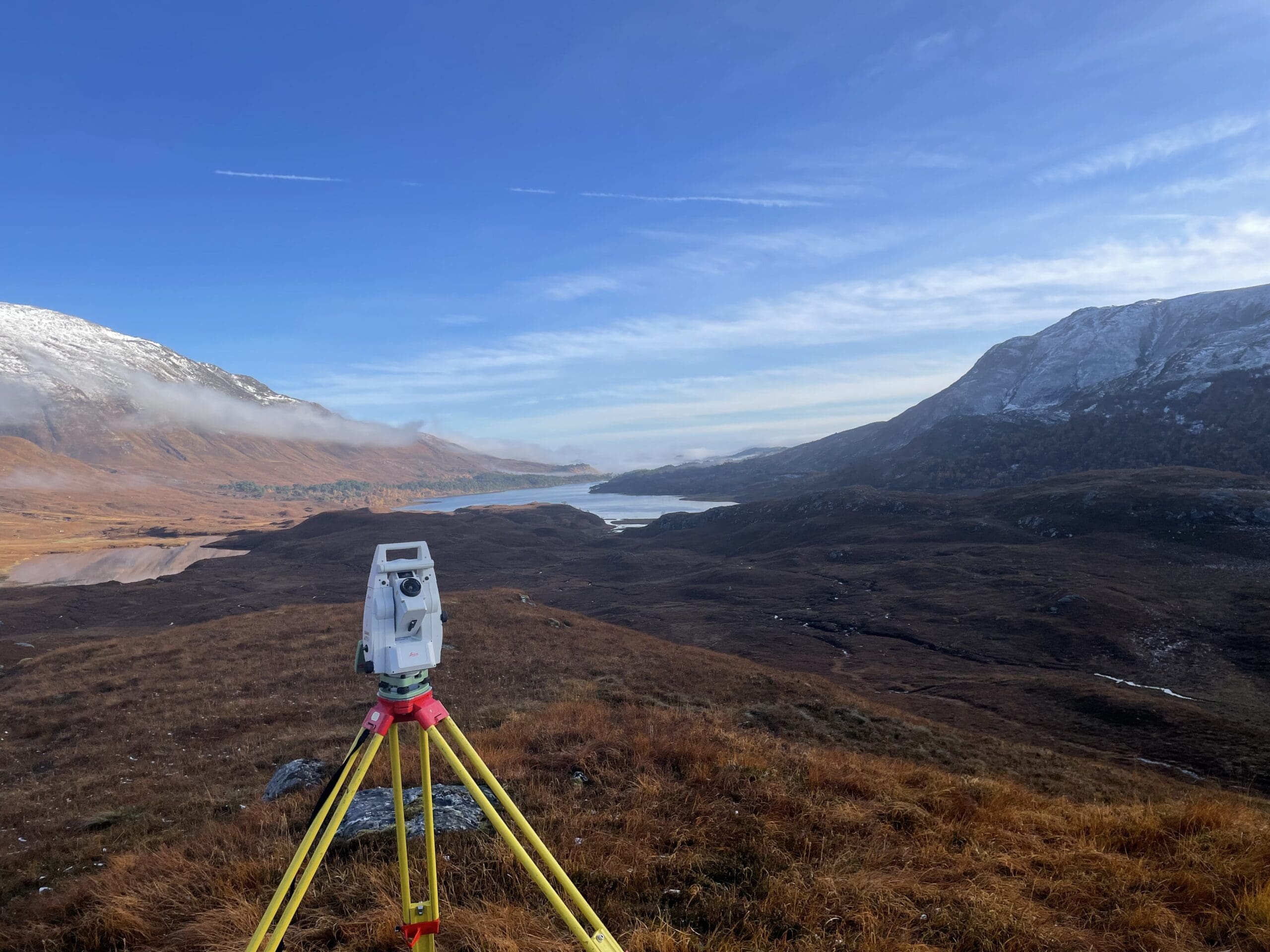
Owl Surveys can set out and align all project elements with confidence.